Endurance Meets Exploration
At 180 Adventure, our mission is to ignite a passion for adventure racing, inviting participants to challenge their endurance and teamwork skills in the heart of nature.
Adventure
Racing
180 Adventure Races

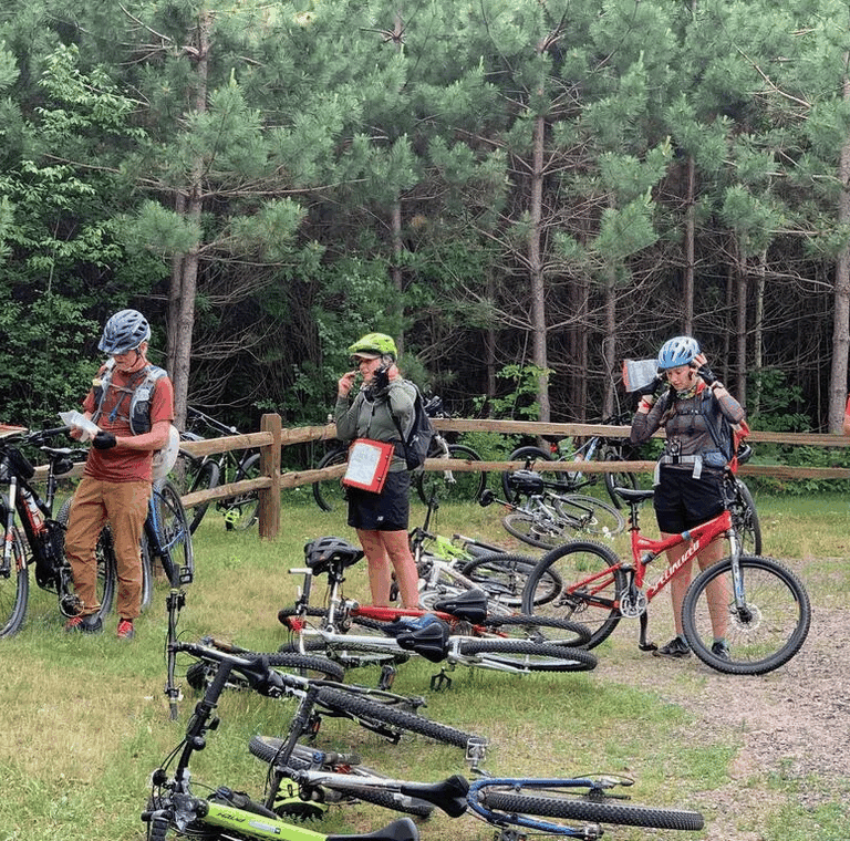
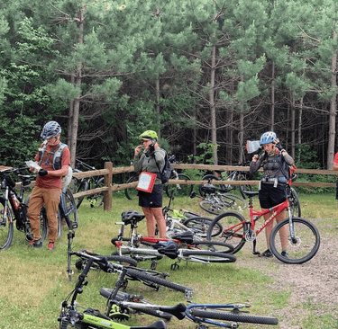
Stubborn Fool
Adventure Race
April 11, 2026
6-Hour Race
TBA
Stubborn Mule
Adventure Race
June 27, 2026
5-Hour, 12-Hour, 24-Hour Races
Cable, Wisconsin


”The PEOPLE, volunteers, the organization, the maps, and the entire experience hooked all 4 of us. Absolutely Loved it!!!"
- The Mud Dobbers Team
Race Testimonials
"180 Adventure puts on great events! Well organized, great communication, and great post-race party with live music, great food and beer!"
- Mandy Hansel
“Had a great 30 hr adventure thanks to you and your volunteers and your skills at laying out a great course in a beautiful part of the country.”
- Jim Huss
Our races are part of the
The Wisconsin Adventure Racing Series is a premier race series featuring adventure races throughout Wisconsin, Illinois, and Minnesota. Eleven Races, Unlimited Adventure!
Wisconsin Adventure Racing Series


Join us as a partner and connect with a vibrant community of outdoor enthusiasts. Together, we can inspire passion for adventure racing and promote teamwork, endurance, and a love of the outdoors.
Sponsorship